Carto

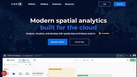
Carto is a comprehensive mapping and analytics platform designed for efficient mapping, geospatial analytics, and data visualization. It enables users to analyze and visualize location-based data while securely tracking real-time locations. With its intuitive interface and advanced analytical tools, Carto serves businesses, developers, and data scientists seeking to derive insights from their geospatial data. Key features include user-friendly mapping tools, sophisticated analytics capabilities, and robust data visualization options, all complemented by real-time data analysis and location tracking. Carto also prioritizes data security, ensuring that your information remains protected. Whether for creating detailed maps or uncovering trends and patterns, Carto provides the essential tools for effective business intelligence and informed decision-making.
